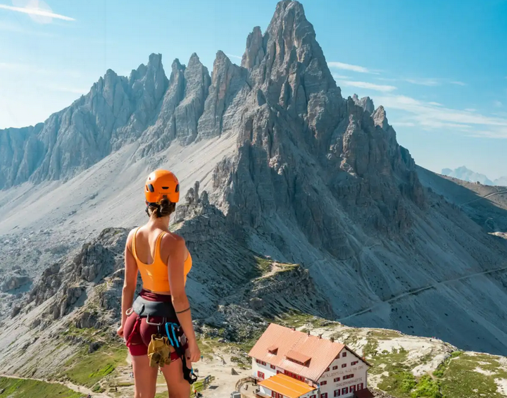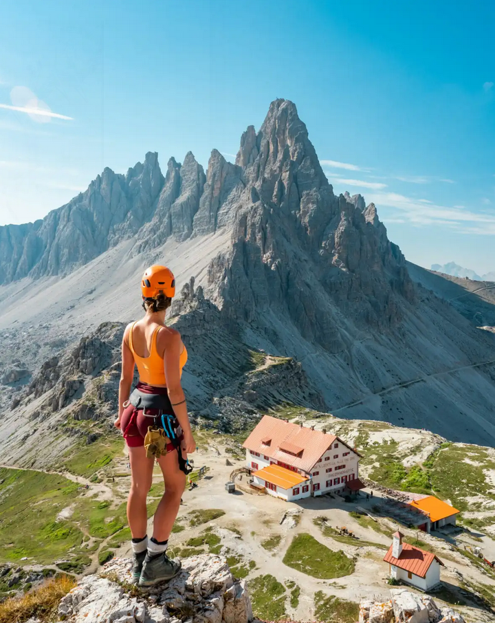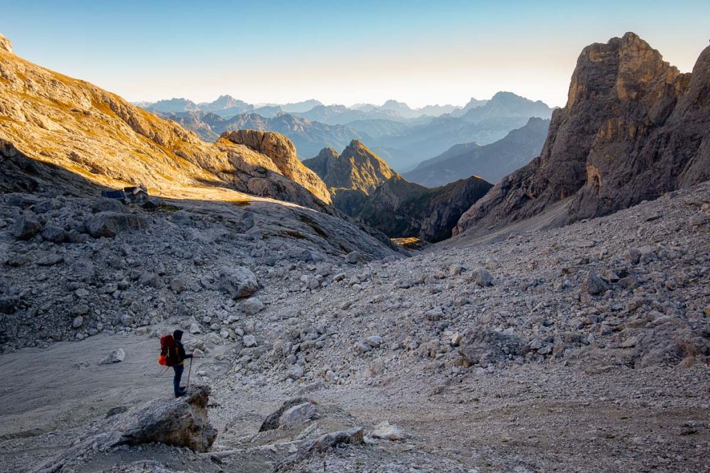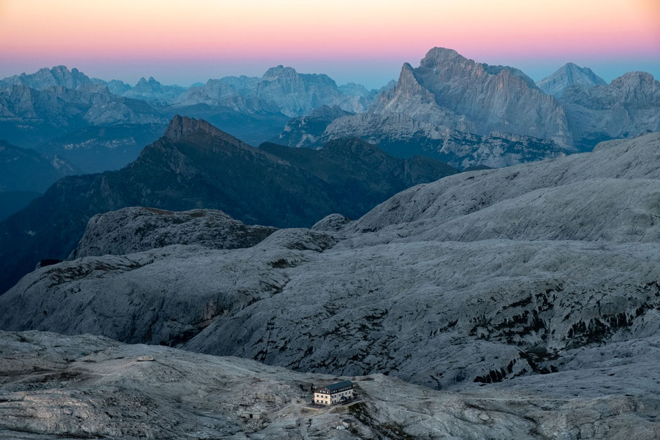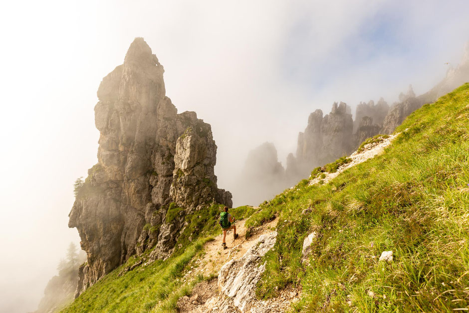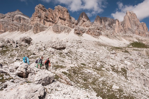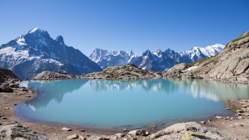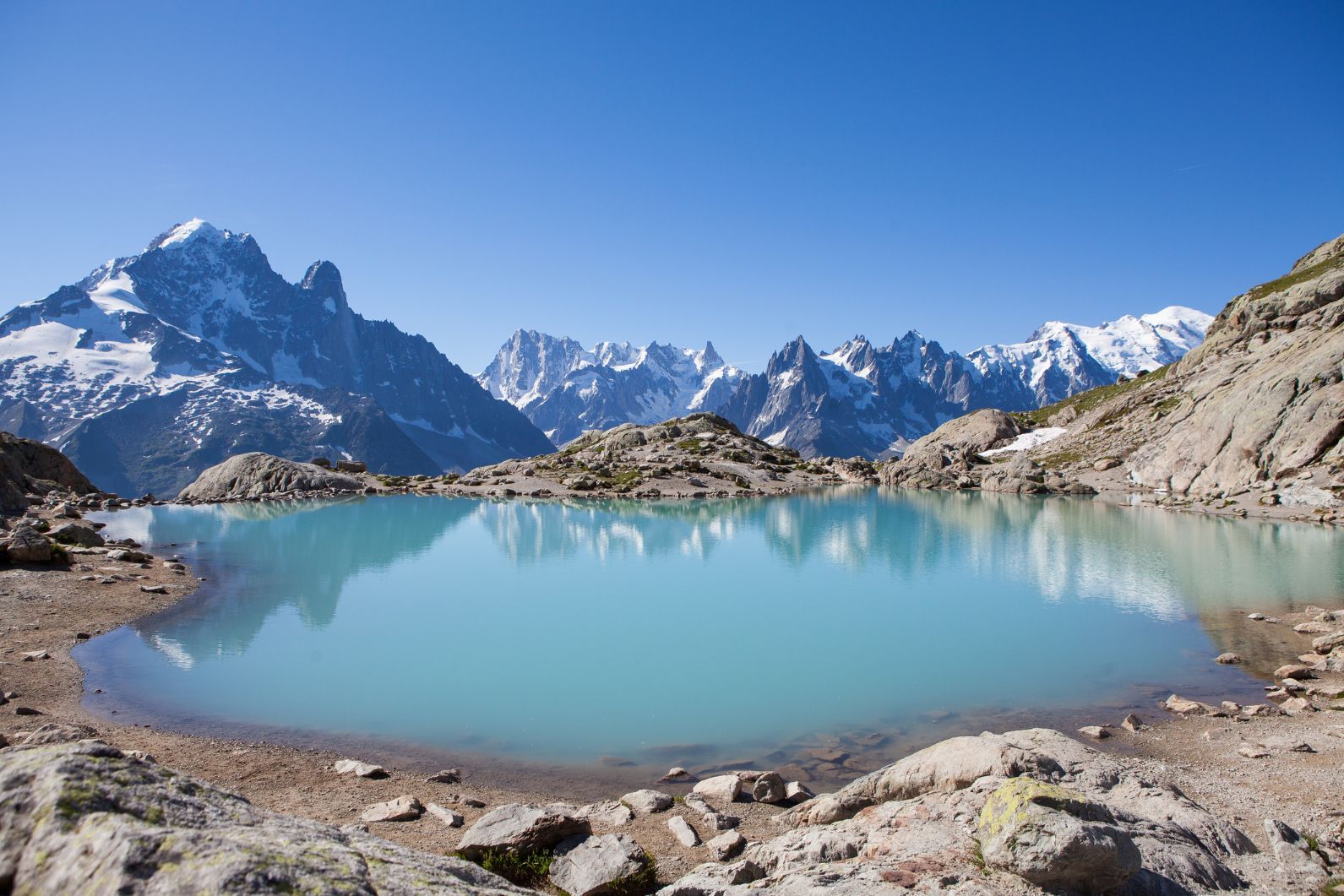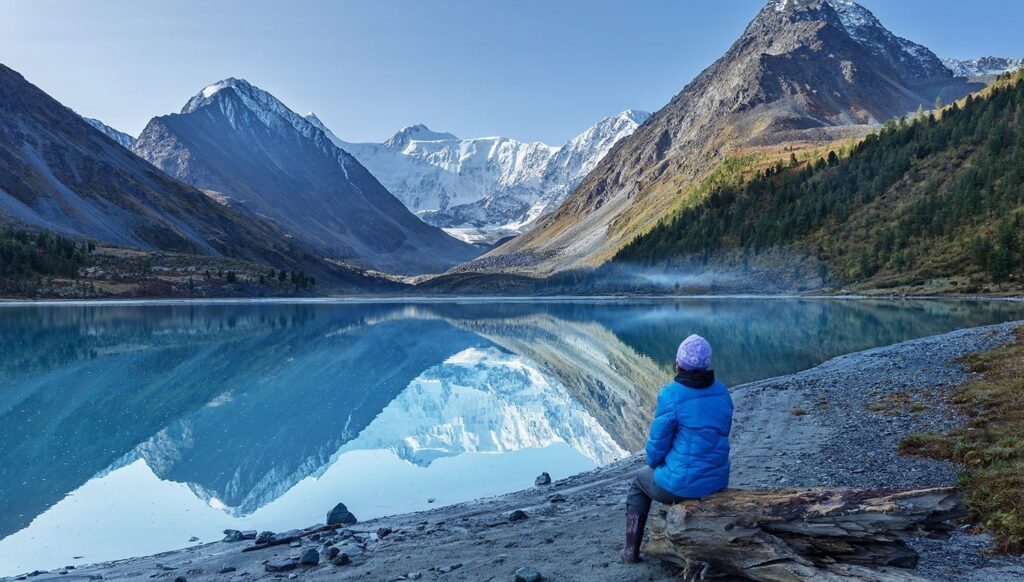
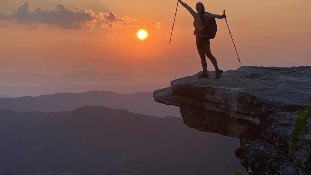
Appalachian Trail Backpacking in the Roan Highlands
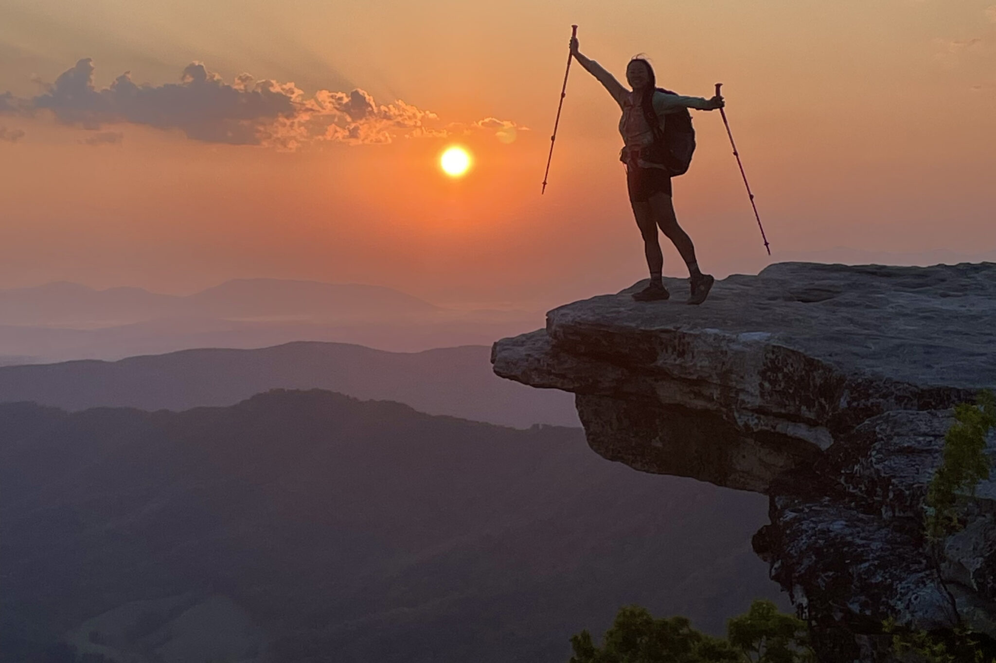
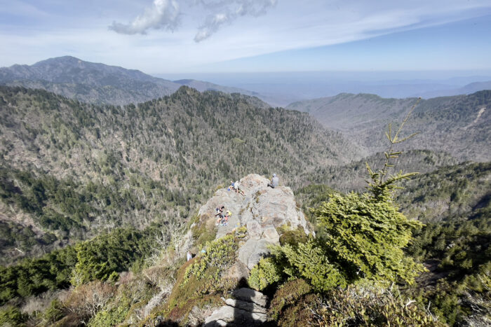
Appalachian Trail Backpacking in the Roan Highlands
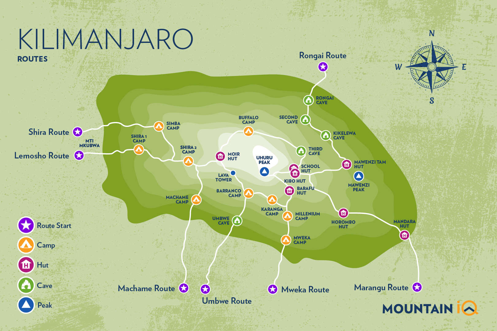
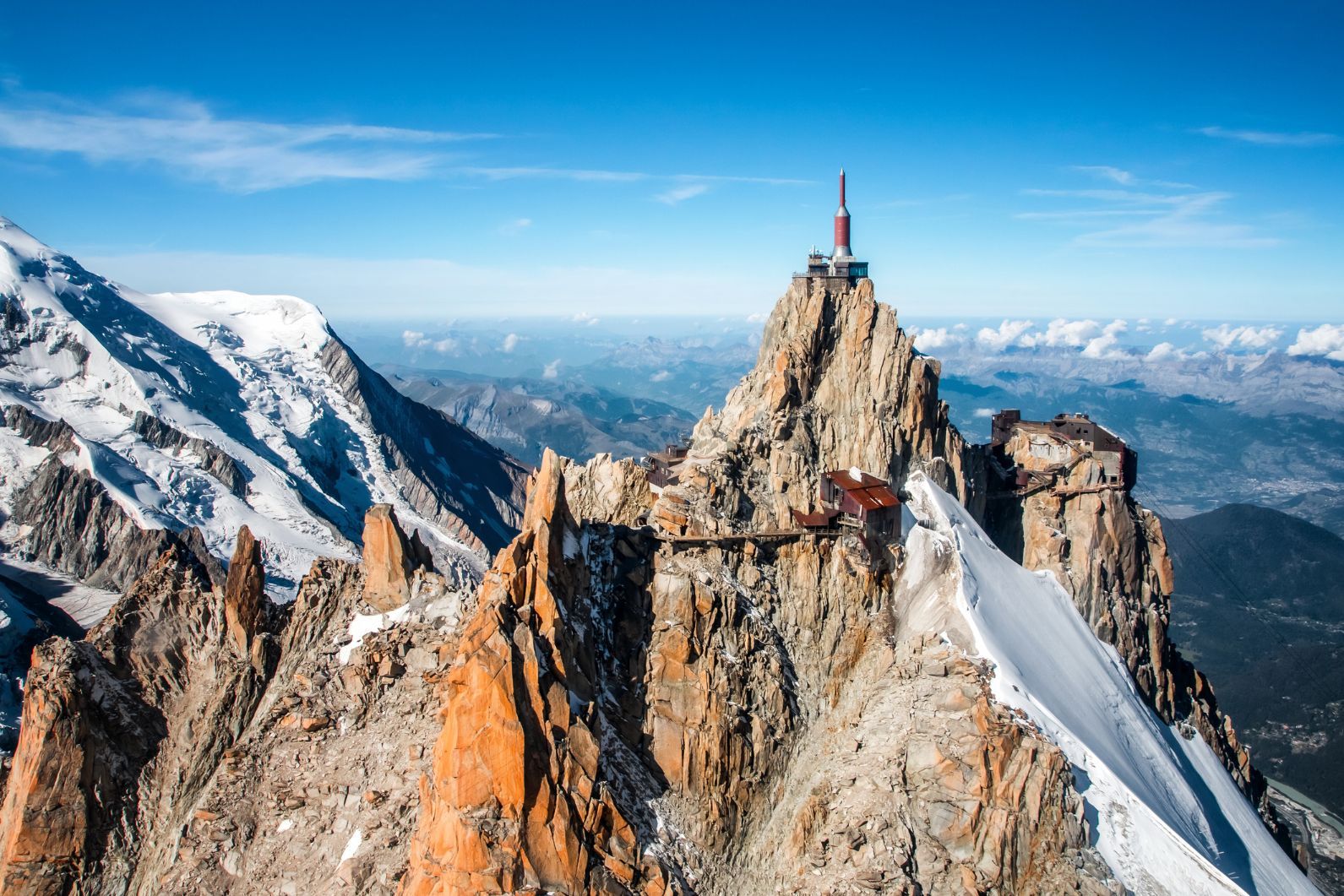
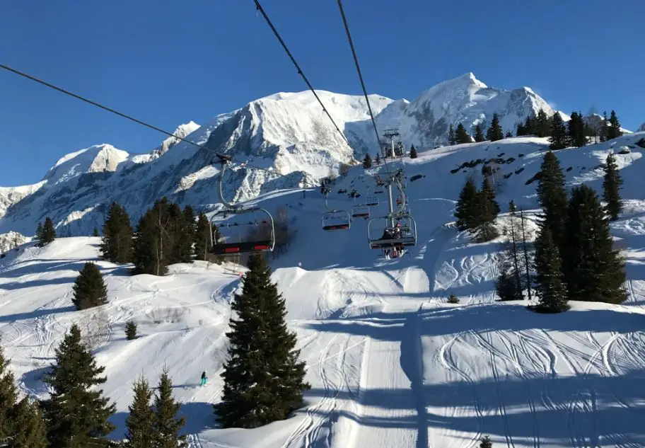
More About the Appalachian Trail
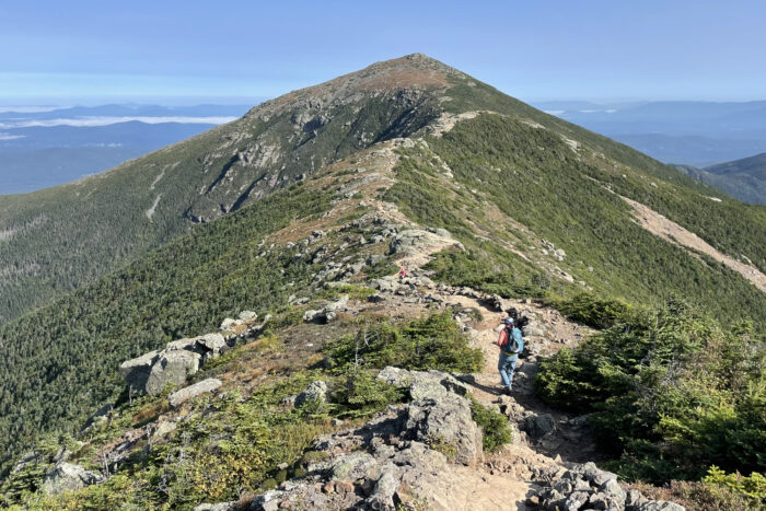
What is the Appalachian Trail?
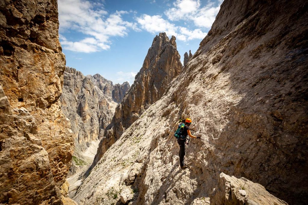
Arguably America’s most famous hiking trail, the Appalachian Trail (AT) stretches across the United States from Georgia to Maine. It is almost 2200 miles (2178 to be exact) and America’s most popular long distance hiking trail. Roughly 3 million people each year hike a portion of the AT, but it’s a tiny fraction of that who actually complete the entire 2178-mile journey. It’s estimated that between 20,000 and 30,000 people have done the whole trail since its inception in 1936.
History of the Appalachian Trail
The idea of creating a hiking trail to connect Georgia and Maine was first dreamed up by a man named Benton Mackaye. Mr. Mackaye – a Harvard University graduate, avid hiker and experienced outdoorsman – introduced the idea via an article in the Journal of the American Institute of Architects in 1921. The idea took hold and the wheels of creation were turning.
In 1930 a gentleman by the name of Myron Avery, an attorney and hiker from Washington D.C., took the reigns and began to execute on Benton Mackaye’s vision. After mapping a route for the trail through the thick forests and rippling mountains of Appalachia, he began recruiting volunteers to build it. Avery was a contentious fellow but drove the process that created America’s first long distance trail. It took 7 years, with the last bit of trail carved out of the southern slopes of Maine’s Sugarloaf Mountain in 1937. Avery was also the first person to hike every inch of the entire trail, which he pieced together in sections over 16 years.
Today the crown jewel achievement on the AT is to hike it in one continuous journey from North to South, or from South to North. The first person to accomplish it in this fashion was Earl Shaffer in 1948. A Pennsylvanian and World War II veteran, Shaffer read about the trail in an outdoor magazine. It is thought by some that he tackled the hike as a therapeutic endeavor to overcome PTSD from the war. He hiked south to north, and completed the journey in 124 days. He would hike it two more times in his life, the final time in 1998 when he was in his late 70s. The record for the shortest time is 46 days, 8 hours and 7 minutes, set by Scott Jurek in 2015.
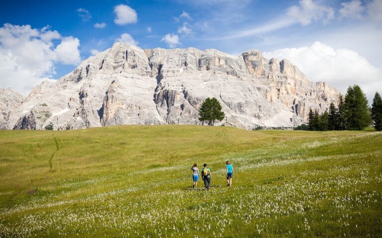
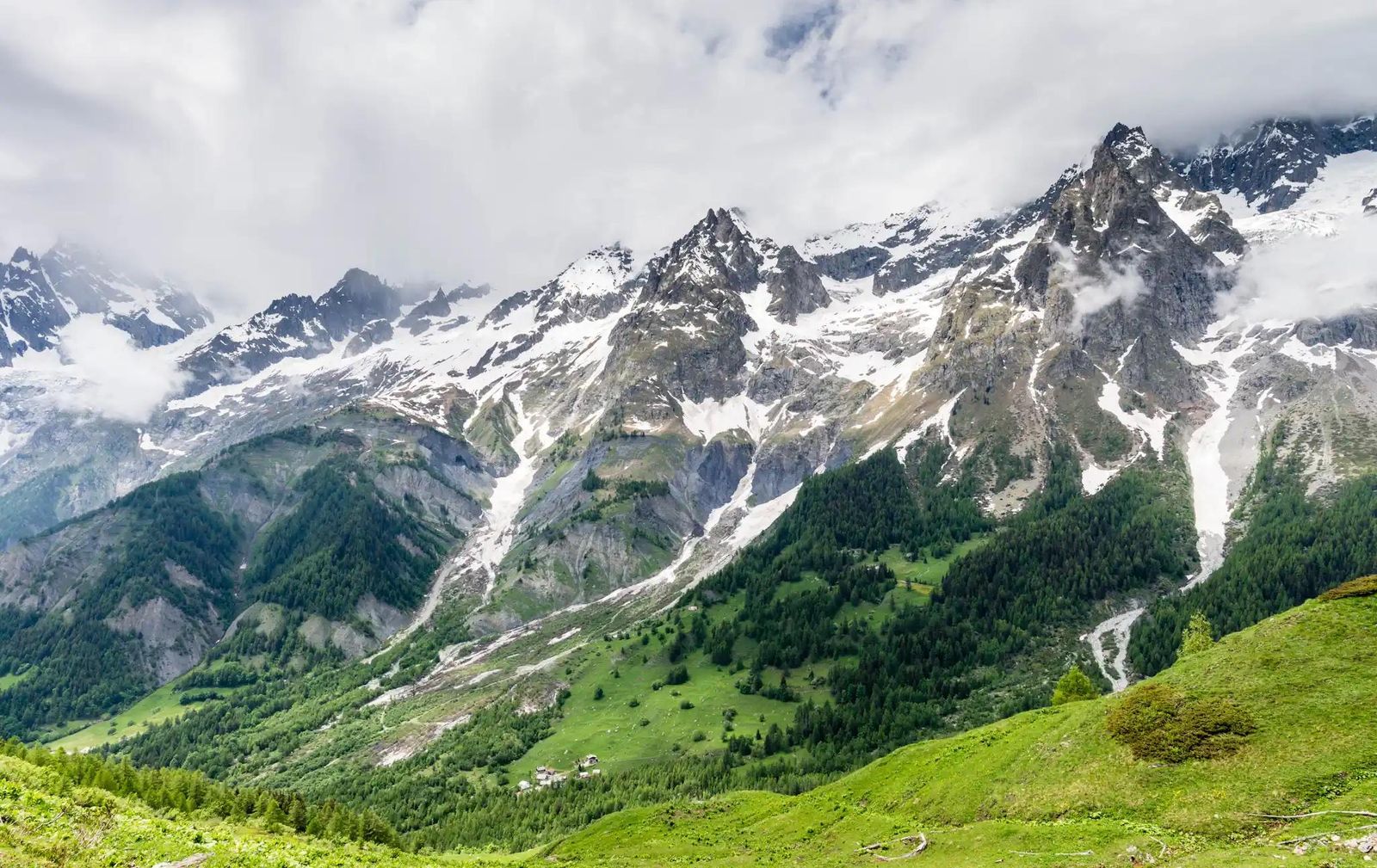
When to Hike on the Appalachian Trail
The Appalachian Trail covers such an immense distance, that it’s difficult to pin this down for the entire trail. Wildland Trekking’s Appalachian Trail trips are in the Great Smoky Mountains and in the White Mountains of New Hampshire.
The Smokies are fantastic year round, with spring and fall being the peak seasons, and winter and summer creating more extremes of cold and heat/humidity. The White Mountains, on the other hand, are really best in the summer due to their high elevation and northern latitude.
Got more questions? Contact us – we’re here 7 days a week to help any way we can!
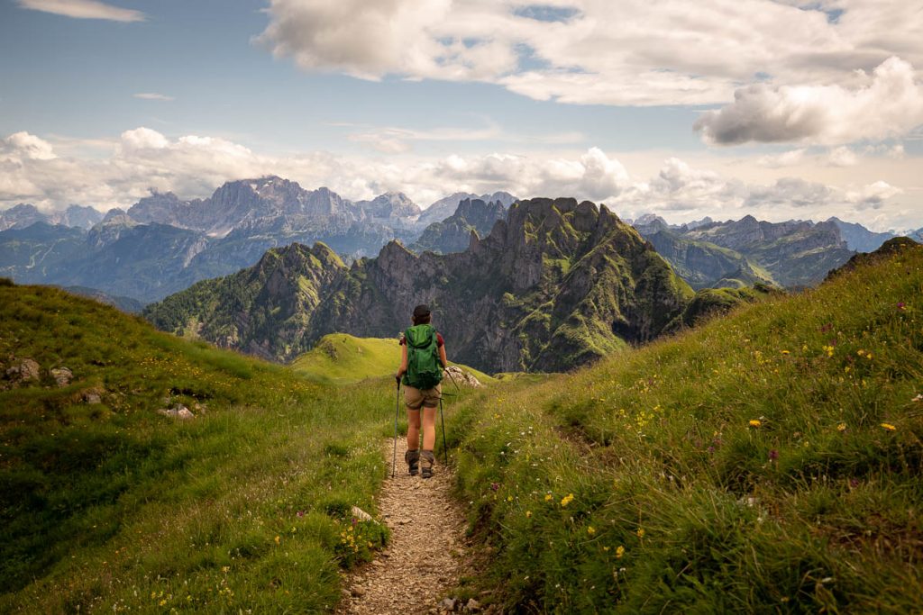
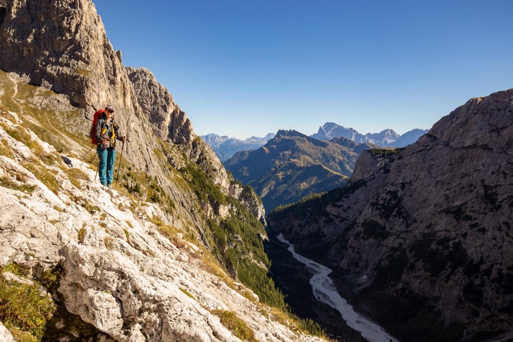
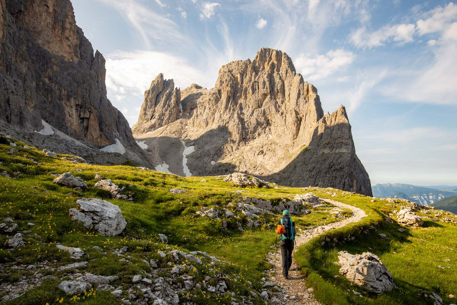
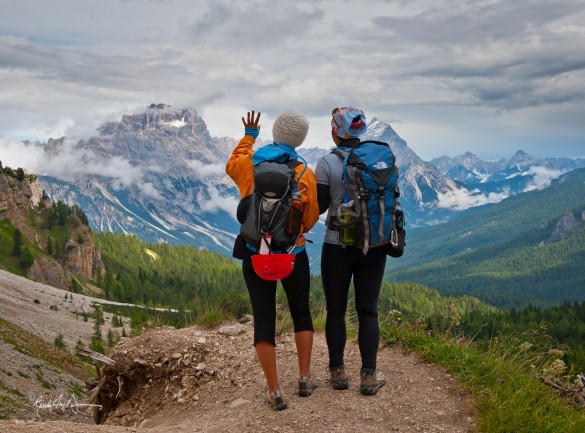
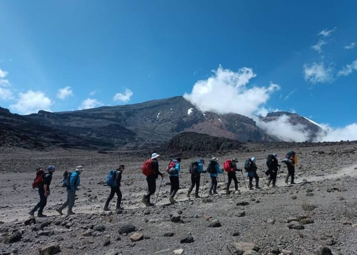
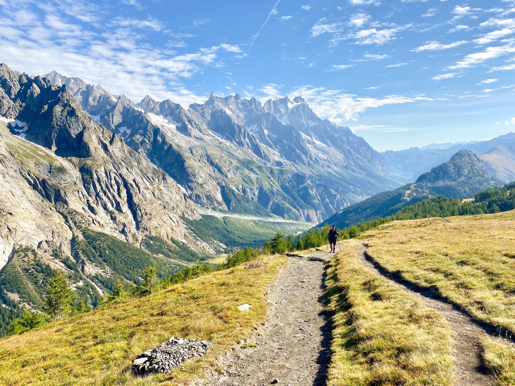
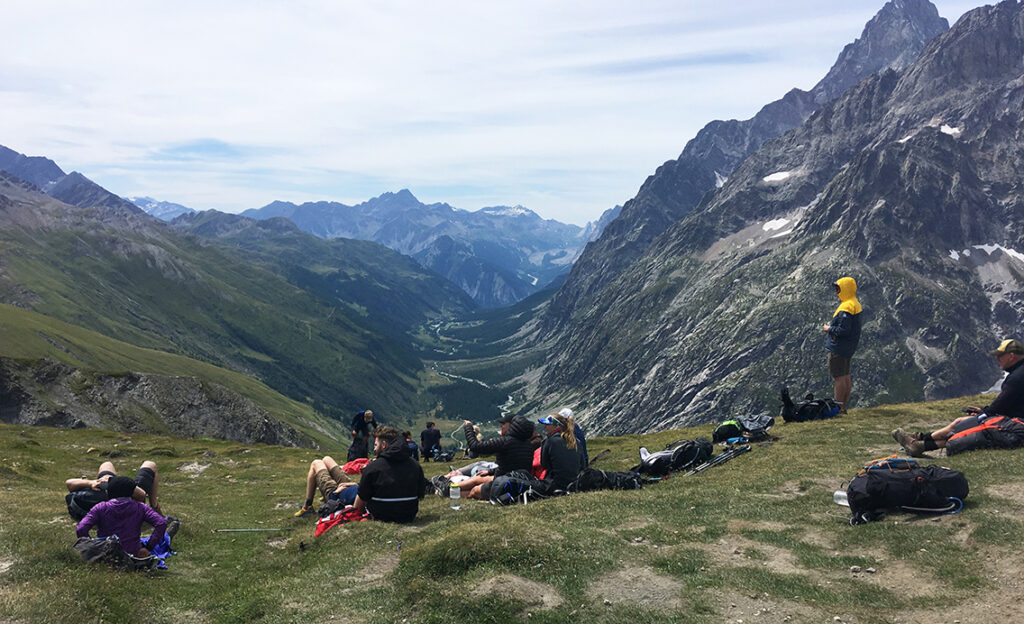
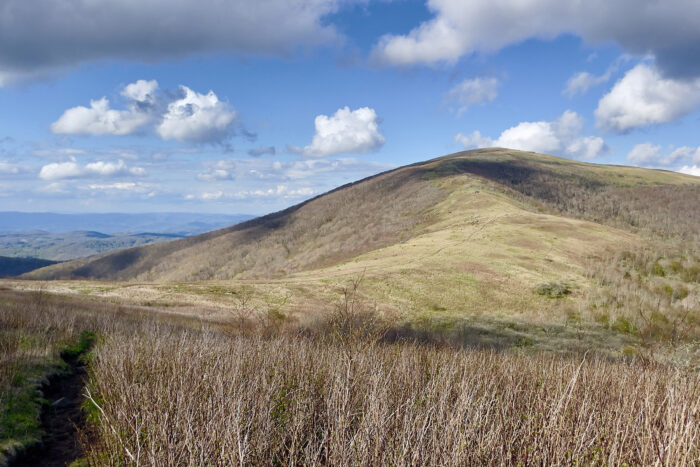
Group Backpacking in the Roan Highlands
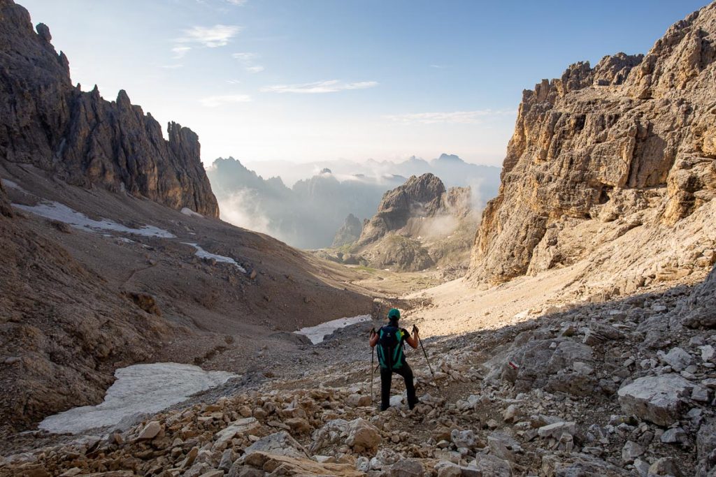
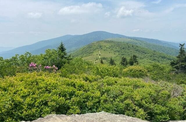
Join us for a group backpacking adventure through the stunning Roan Highlands, where you’ll soak in panoramic vistas and traverse scenic rolling hills over 3 days and 16 miles. The timing of this trip is perfect for early fall colors and less crowded trails during the week. Group tour means that you’ll meet other like-minded outdoor enthusiasts and step into the world of backpacking with ease.
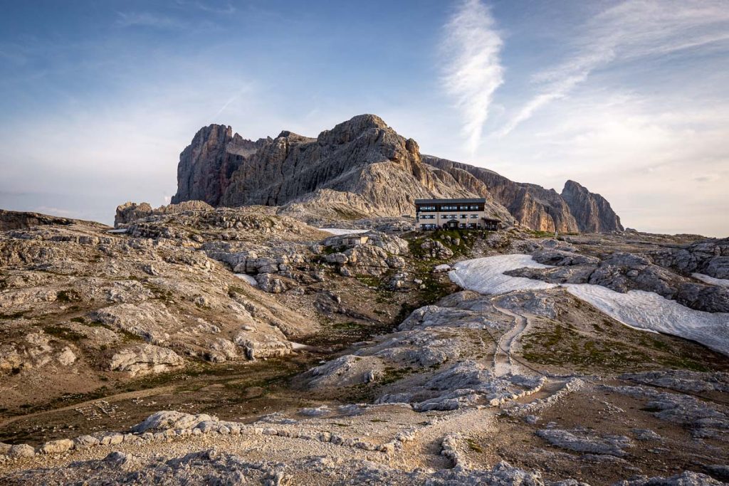
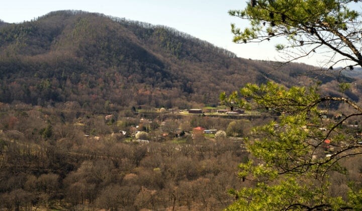
- Arrive in Hot Springs, NC in the afternoon or evening hours and meet your guides at their bunkhouse. Pack your things for tomorrow and have a good rest at the bunkhouse for the night.
- You can also meet your guides in the morning of Day 1 if this suits you better.
- No meals are included on this day.
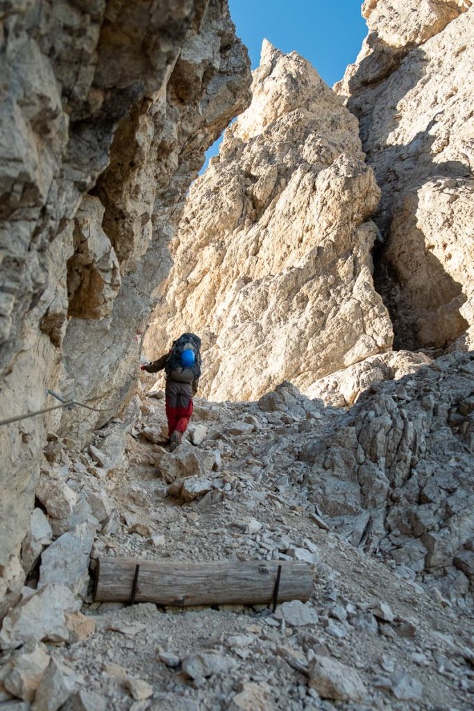
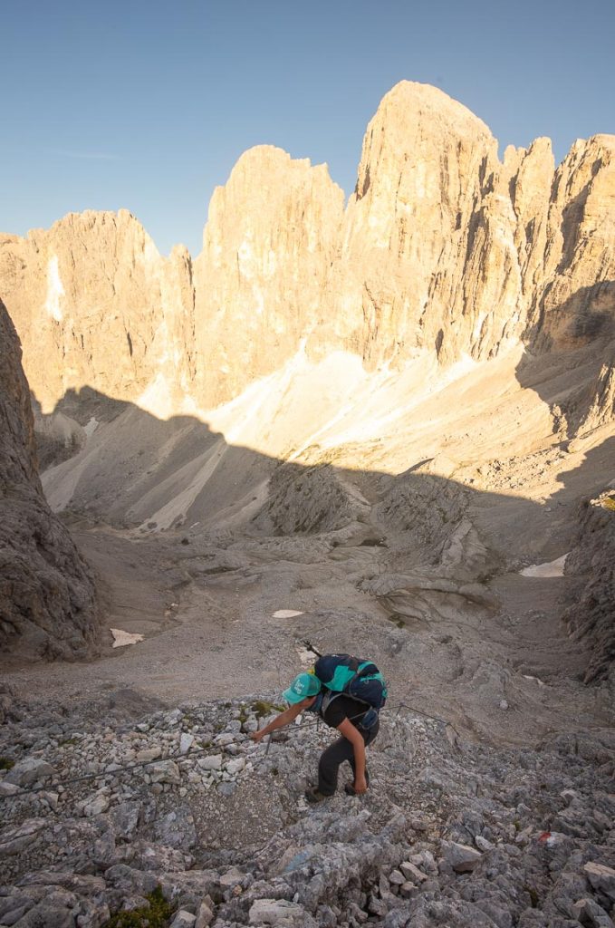
Meet your guide and fellow hikers at 8am to start your trip! Your trip begins with a pack shakedown. Your guide will pass out your gear and food, teach you how to pack your backpack and go through what you’ve packed to make sure you don’t bring too many extra items. Around 10am, you’ll shuttle to the trailhead to start your hike (drive time is 1.5 hours). You’ll hike over Jane Bald and Grassy Ridge Bald before arriving at your campsite.
- Meals: Lunch, dinner
- Hiking: 3.5 mi
- Elevation gain: 650 ft
- Elevation loss: 1,100 ft

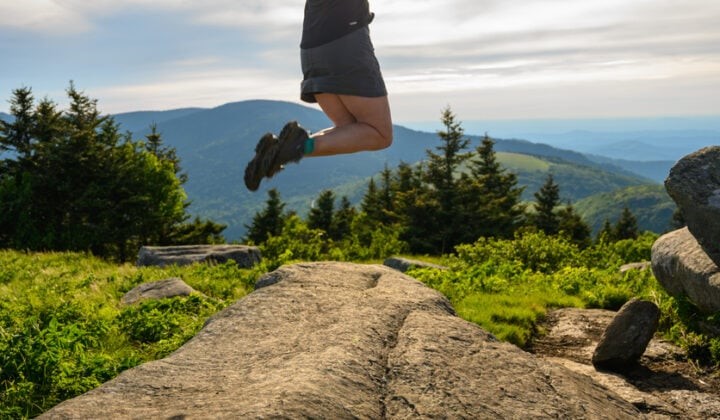
Wake up and break camp. After a hearty breakfast, hike a short distance to your second campsite and set up camp, then continue hiking to Little Hump and Hump Mountain without your backpacks. After enjoying the view, return to your campsite.
- Meals: Breakfast, lunch, dinner
- Hiking: 2 mi with and 7 mi without backpacks
- Elevation gain: 200 ft with and 1900 ft without backpacks
- Elevation loss: 650 ft with and 1900 ft without backpacks
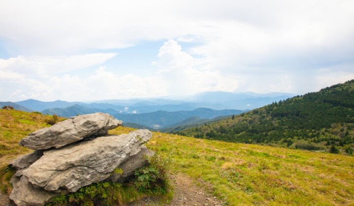
After breaking camp and breakfast with a view, we’ll return to the trailhead via the AT. The shuttle will take us back to Hot Springs, NC. The hike generally finishes early afternoon on the last day.
- Meals: Breakfast, lunch
- Hiking: 5.5 mi
- Elevation gain: 1,750 ft
- Elevation loss: 850 ft
Itinerary is subject to change based on a variety of factors, including weather, trail conditions, and participants needs and abilities. Please inform our admin team ahead of time if you have a time constraint on the last day of your trip.
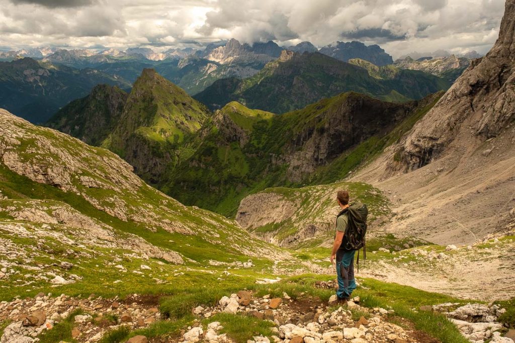
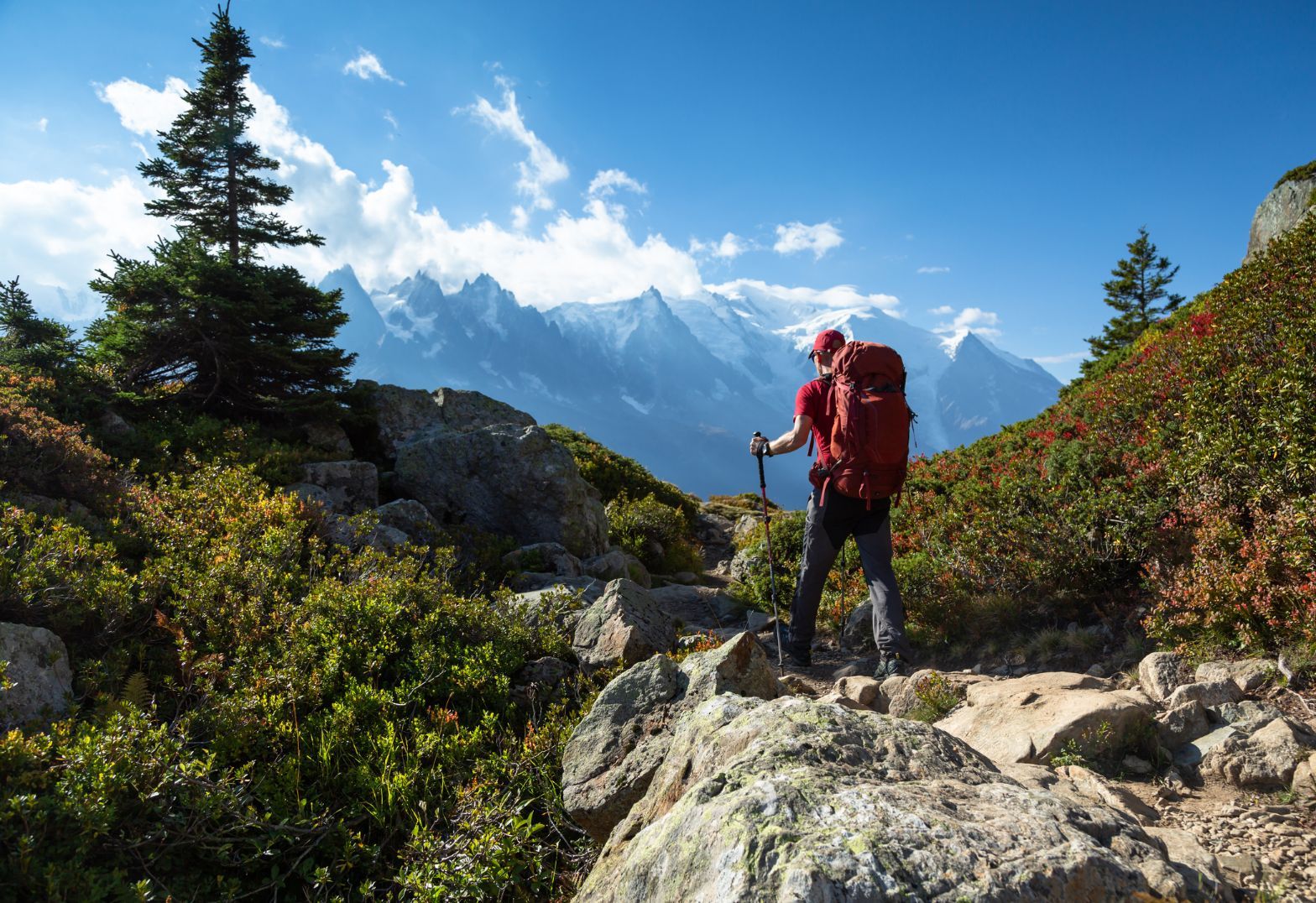
Private Backpacking in the Roan Highlands
Experience a private backpacking adventure through the stunning Roan Highlands, where you’ll soak in panoramic vistas and traverse scenic rolling hills over 3 days and 16 miles/ 25 km. This trip is perfectly timed for early fall colors and less crowded trails during the week. Enjoy the personalized attention and flexibility of a private tour, allowing you to fully immerse yourself in the beauty of the Highlands and step into the world of backpacking with ease.
- Arrive in Hot Springs, NC in the afternoon or evening hours and meet your guides at their bunkhouse. Pack your things for tomorrow and have a good rest at the bunkhouse for the night.
- You can also meet your guides in the morning of Day 1 if this suits you better.
- No meals are included on this day.

Meet your guide and fellow hikers at 8am to start your trip! Your trip begins with a pack shakedown. Your guide will pass out your gear and food, teach you how to pack your backpack and go through what you’ve packed to make sure you don’t bring too many extra items. Around 10am, you’ll shuttle to the trailhead to start your hike (drive time is 1.5 hours). You’ll hike over Jane Bald and Grassy Ridge Bald before arriving at your campsite.
- Meals: Lunch, dinner
- Hiking: 3.5 mi
- Elevation gain: 650 ft
- Elevation loss: 1,100 ft
Wake up and break camp. After a hearty breakfast, hike a short distance to your second campsite and set up camp, then continue hiking to Little Hump and Hump Mountain without your backpacks. After enjoying the view, return to your campsite.
- Meals: Breakfast, lunch, dinner
- Hiking: 2 mi with and 7 mi without backpacks
- Elevation gain: 200 ft with and 1900 ft without backpacks
- Elevation loss: 650 ft with and 1900 ft without backpacks

After breaking camp and breakfast with a view, we’ll return to the trailhead via the AT. The shuttle will take us back to Hot Springs, NC. The hike generally finishes early afternoon on the last day.
- Meals: Breakfast, lunch
- Hiking: 5.5 mi
- Elevation gain: 1,750 ft
- Elevation loss: 850 ft
Itinerary is subject to change based on a variety of factors, including weather, trail conditions, and participants needs and abilities. Please inform our admin team ahead of time if you have a time constraint on the last day of your trip.
Reach Us
HEAD OFFICE
575 Madison Ave, New York, NY 10022, United States